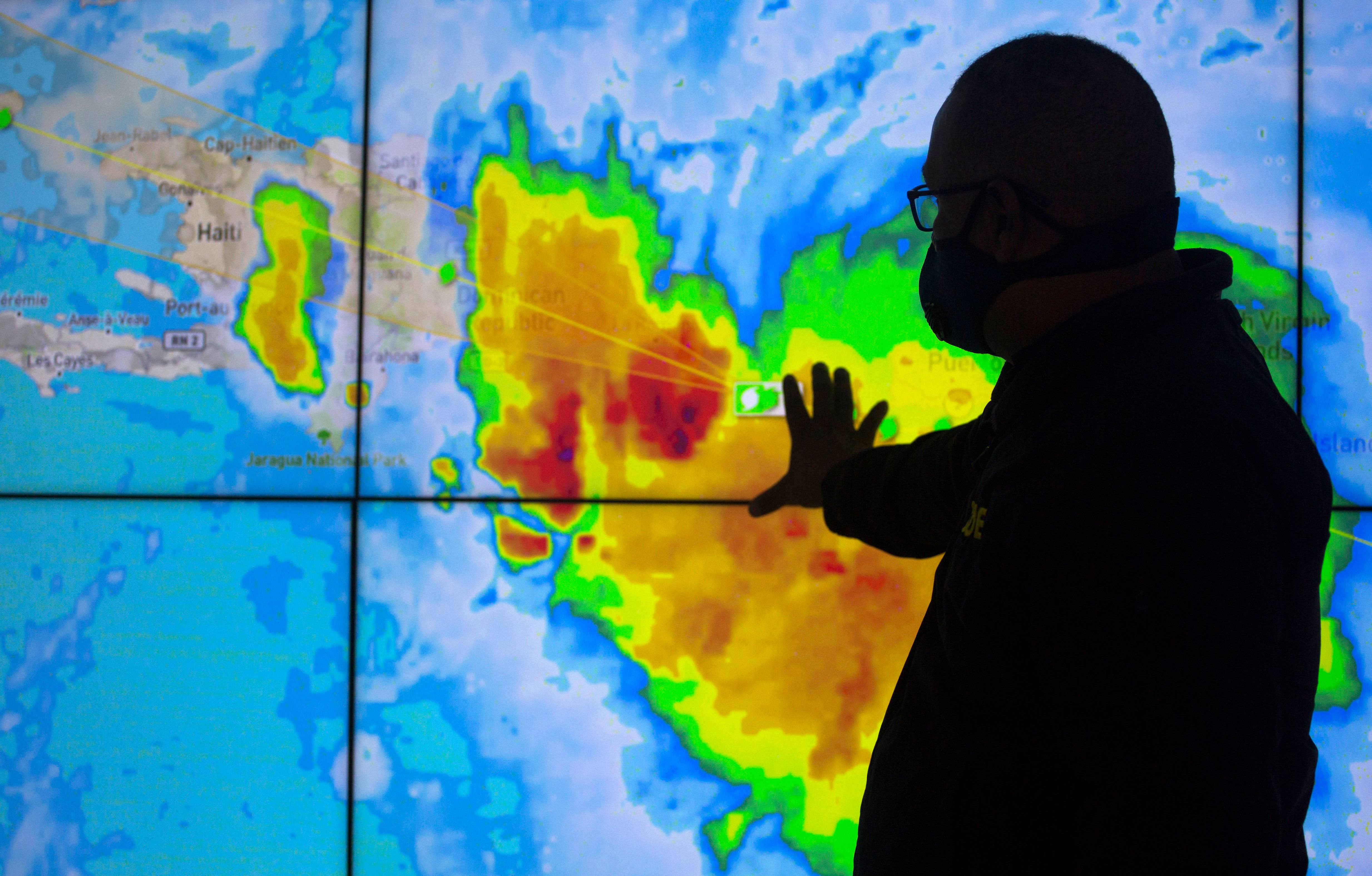
An employee of the Emergency Operations Center (EOC) monitors tropical storm Laura in Santo Domingo, on August 22, 2020.
Erika Santelices | AFP | Getty Images
Tropical storms Marco and Laura were expected to develop into hurricanes as they gained strength and aimed for an unprecedented twin strike next week on the mainland U.S.
Marco entered the Gulf of Mexico Saturday evening and was headed toward landfall in Louisiana or Mississippi Monday afternoon, according to National Hurricane Center projections. Hurricane status could come as early as Saturday night, federal forecasters said.
Laura, over the eastern area of the Dominican Republic Saturday, was expected to strengthen to a hurricane by Tuesday afternoon, the center said. It could make landfall from Texas to Florida’s Gulf Coast by Wednesday afternoon, forecasters said.
“It looks like the upper Gulf is going to get a one-two punch,” hurricane center spokesman Dennis Feltgen said. “That’s pretty much unprecedented that close together.”
The shortest time between U.S. landfalls for major storms is 23 hours between Sept. 4 and 5, 1933.
Read more from NBC News:
Louisiana Gov. John Bel Edwards declared a state of emergency Friday ahead of the storms and on Saturday asked President Donald Trump to grant federal emergency status to the state.
“Tropical Storms Marco and Laura are forecast to impact Louisiana in quick sequence early next week,” Edwards’ office said in a statement.
To reach hurricane status, the storms would have to generate sustained winds of at least 74 mph.
Marco was in the Gulf of Mexico, about 75 miles west-northwest of Cuba, with maximum sustained winds of 65 mph, according to the hurricane center. It was moving north-northwest at 13 mph.
A hurricane watch was in effect from Intracoastal City, Louisiana, to the Mississippi-Alabama border, including New Orleans, federal forecasters said.
Tropical Storm Laura was about 85 miles east-southeast of Santo Domingo, Dominican Republic, with maximum sustained winds of 50 mph. It was moving west at 18 mph.
A tropical storm warning was in effect for Puerto Rico, the U.S. Virgin Islands and parts of the northern coast of the Dominican Republic and a tropical storm watch was issued for the central Bahamas and the Florida Keys from Ocean Reef to Key West and the Dry Tortugas, the hurricane center said.
